Laser Scanning: What's the Process?
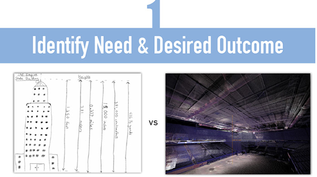
Laser scanning is as much about gathering accurate information as it is about brilliant visualizations. Technology has given us the ability to precisely re-create any environment and seamlessly transform millions of pieces of information into a useful building model. There are many practical uses for laser scanning and many amazing deliverables it can produce. The efficiency of reality capture is making Mortenson a smarter builder, allowing us to make quicker and better informed decisions, leading to a better overall customer experience.
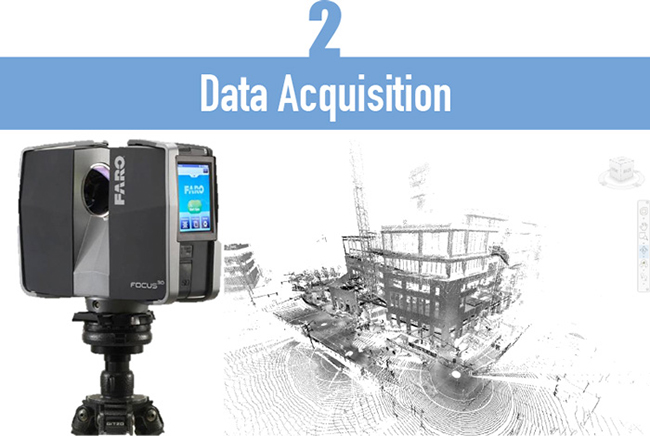
First, the area is scanned – usually from different scan positions in order to completely cover its surface. Each view point generates a cloud of points. This point cloud data set provides remote access to valuable information for architects, engineers, and construction teams when planning, designing, and analyzing projects.
Laser scanning eliminates the labor intensive hand gathering measurements in the field. It is our preferred method for gathering information that is used for visual and measurable verification of existing conditions.
This information is exportable to Revit, Navisworks and other design software.
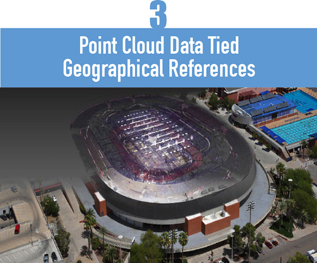
After data acquisition, each scan is geo-referenced. Geo-referencing is the transformation of the scanner data into a real world coordinate system. This geo-referenced point cloud is tied to building control, and allows the point cloud to be accurately positioned relative to other elements of the design.
The point cloud data is referenced to the coordinate system using surveying technology.
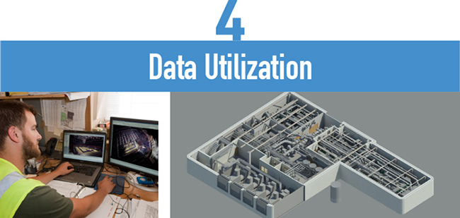
Once the geo-referenced point cloud is created, the next level of development is to use the data for whatever your project requires – whether it be used for creating a 3D model, assessing floor flatness and levelness, inspecting walls, performing energy analyses, etc.
These options will consist of elements captured in the point cloud that add value to the project.
This information is used by owners, architects and engineers to coordinate the project.
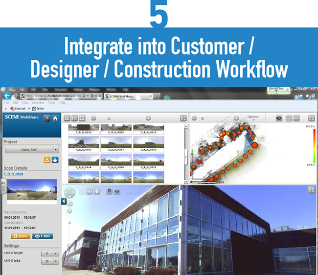
WebShare is ideal for sharing large data sets with the project team, utilizing a web-based application and cloud-based data storage. This design tool gives architects, engineers, and construction teams access to measurable point cloud data through a secured Internet connection. WebShare gives project teams 24/7 access to project sites. Design partners and stakeholders can view, walk through, and take measurements safely without ever stepping foot on the project site. This also reduces travel costs and time consuming site visits.
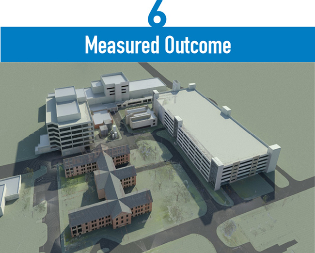
Whether the result is an incredibly accurate 3D model, down to the millimeter – or a thorough assessment of floor flatness and levelness, wall inspections, or energy analyses – laser scanning ensures quality, increases speed of capture, and ultimately eliminates surprises for the customer. To see a list of the ways laser scanning adds value to projects, click here.